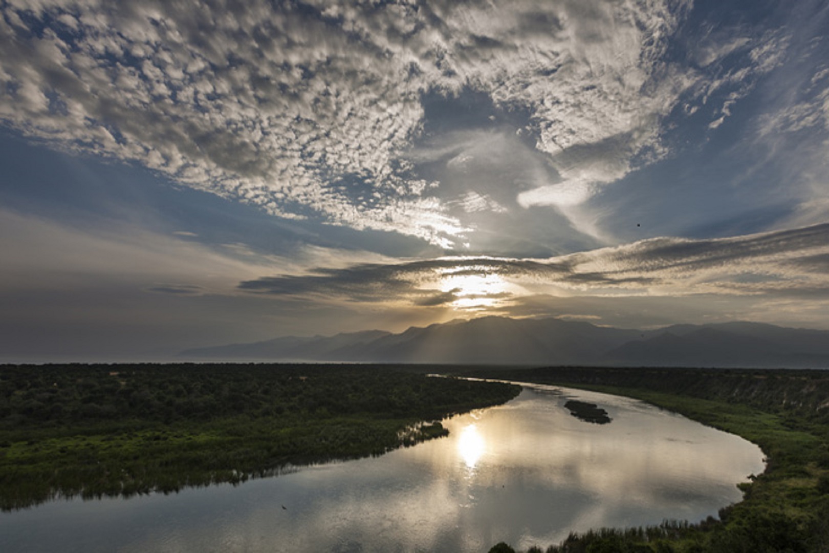
Semuliki River is found in the Western part of Uganda in Semuliki National Park, which is part of the great Itura forest of Congo in Bundibugyo district. It’s within the Semuliki Valley, which is quite a remarkable safari destination.

Semuliki River forms the boundary between Uganda and the Democratic Republic of Congo (DRC) in Central and East Africa, due to presence of the tropical rainforest and the Congo basins. However, there is concern on the part of Uganda about the shifting border between Uganda and the Democratic Republic of Congo as a result of soil erosion. The river has shifted almost one kilometer into Uganda due to the continuous flooding and soil erosion in the area because it is a basin.
Semuliki River originates from Lake Edward found in Kasese District in Western Uganda and it begins near Ishango in DRC, at the northern end of Lake Edward. Soon after the river enters Virunga National Park in DRC, through which it flows over much of its upper course.
Lake Edward is found in Queen Elizabeth National Park on the border of Uganda and DRC. The river flows northwards and empties into Lake Albert located in the Hoima District in Western Uganda at 1.2225°N 30.5038889°E. This is part of Murchison Falls National Park.
Semuliki River stretches for 230km along the Rwenzori mountain ranges and the border between Uganda and DRC from Lake Edward to Lake Albert. The altitudinal range in the catchment is from 600m above sea level in Semuliki flats to 5,110m at the peak of the Rwenzori. This wide range allows for a high level of species diversity and endemism.
Extension of Semuliki River
Along its lower reaches, it forms part of the international border between the DRC and the western Ugandan district of Bundibugyo, near Semuliki National Park. It empties into Lake Albert slightly west of the border in Orientale Province of the DRC.
The A-109 road between Mpondwe, Uganda, and Beni, DRC, is on the right, sometimes nearby and sometimes at a distance, as the river meanders through the park. Slightly southeast of Beni, the river passes under the A-109 road and continues north. At this point, the stream is west of Mount Baker (Kiyanja) in Rwenzori Mountains National Park in Uganda.
Before leaving the park, the river passes under another road linking the DRC settlement of Oicha to settlements in the Semuliki Valley, west of the DRC – Uganda border and Bundibugyo town. Downstream of the road crossing, the river leaves the Virunga Park and runs along the west edge of Semuliki National Park, which is in Uganda. Here, the river becomes the border between the DRC and Uganda, and it remains the border for most of the rest of the river’s course.
As the river leaves Semuliki, it nears Semuliki National Park and the Toro – Semuliki Wildlife Reserve, both in Uganda. Over its last reach, the river flows west of the international border and enters the southern end of Lake Albert at a point of southeast of Bunia, DRC.
There are six ethnic groups living in the catchment who to a large extent depend on the river for their livelihoods. The Bamba and the Bakonjo found in the valleys and mountains slopes are agriculturalists who depend on rainfed agricultural crops. The Batuku in the rift valley floor are pastoralists who rely on cattle products; and the Batwa (pigmies) are forest dwellers who depend on hunting, fishing and gathering, but are currently resettled at Ntandi park headquarters.
The Semuliki River has been of great contribution towards conservation and support of tourism in the area which has led to growth of tropical trees. The area harbors more than 441 birds species and 63 mammals. Among these mammals in the park include forest elephants, buffaloes, hippopotami, duikers, and pygmy flying squirrels, which make Semuliki a number one birding safari destination in the Uganda.
However, the catchment faces many threats due to an increasing population and poor governance of natural resources. The major threats to this catchment are :
- deforestation;
- poor land management practices;
- deteriorating quality and quantity of the river waters; and
- weak institutional capacities on catchment and water resources management.
